


Global Positioning System: What Does GPS Stand For?
Mar
GPS stands for “global positioning system.” But what is it? How does it work? And why is it so critical to modern life?
Those are some of the topics we cover in this comprehensive post. While most people know the basics of this system, there are probably quite a few things you don’t know in detail.
What Is GPS?
GPS is a satellite-based navigation system that provides users with precise time and location information almost anywhere on Earth as long as they have a GPS receiver. This system was originally for exploration teams and the military, but the bandwidth is now sufficiently high for regular people to use it too.
The United States Defense Department created GPS during the 1970s to manage its air force, armadas, and troops. However, it liberalised the programme in the 1980s, opening it up to the public.
Only a few devices were capable of using it previously. However, smartphones changed the paradigm, allowing anyone to use apps to determine their location virtually anywhere on Earth.
The GPS has three main parts:
- Satellites that orbit the Earth and provide location data
- Ground control stations that manage satellites
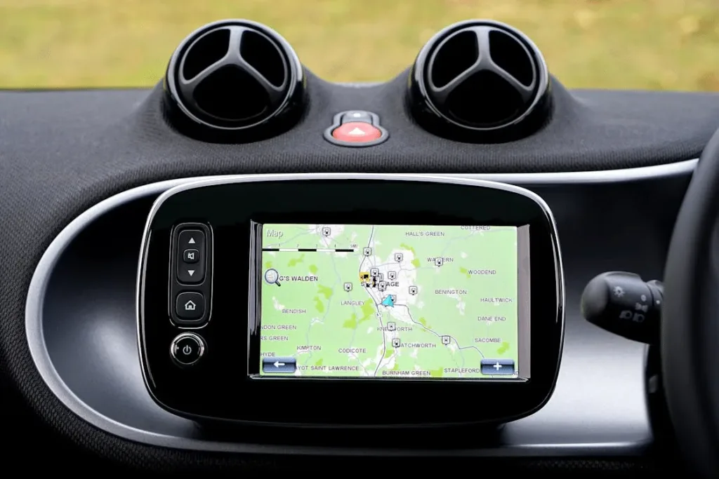
- Receives like smartphones or car infotainment systems that provide user interfaces
All this technology works invisibly behind the scenes. Nowadays, most solutions are easy to use and work the first time without complex setups.
How Does GPS Work?
GPS operates by using satellite signals, physics equations, and engineering.
The process starts with dozens of satellites orbiting significant distances from the Earth (around 12,500 miles). The satellites broadcast their positions in space and the times they sent them.
Then, GPS receivers catch these signals on the ground. Triangulating from multiple satellites, they pinpoint their position on the Earth’s surface.
Einstein’s relativity complicates this part, which is worth noting. Since satellites move at many times the speed of sound through space as they orbit the Earth, software has to account for effects like time dilation. Clocks on satellites tick at different speeds than those on the ground.
GPS devices need readings from at least four satellites to accurately calculate position. They catch these signals and crunch the number to show a precise location on a smartphone or in-car app.
Receivers calculate how long each signal takes to arrive. Since the speed of light is finite, these tiny delays tell receivers the distance to satellites, helping them collect position data.
Three satellites within range allow receivers to triangulate latitude and longitude. A fourth refines the calculation for altitude and can correct receiver clock errors (if any).
How Does GPS Work Globally?
GPS works across borders, which is one of the beautiful things about the system. It can function almost anywhere, including if you could drive your vehicle to the South Pole.
For this reason, GPS is highly adaptable. It can work in the ocean, the mountains, or any other location outside the conventional network range. As such, you can always use the service provided you have a view of the sky.
GPS relies on 24 or more satellites orbiting the Earth on six distinct trajectories. This arrangement allows at least four to be visible from any point on the planet’s surface, enabling worldwide direction finding.
However, it won’t work if tall buildings or mountains are in the way sometimes. However, barring that, most devices (like phones and vehicles) can get a fix on their location. Signals can pass through the atmosphere (including clouds) and even glass (though they don’t work underground).
Do Any Countries Have Independent GPS?
The US was the first country globally to develop GPS. However, many other nations now have similar systems.
Russia’s Global Navigation Satellite System (GLONASS) entered operation in 1995 and offers an alternative system for the country’s military. The EU launched the Galileo system in 2016 in a similar effort, claiming it can locate devices down to a few centimetres. Finally, India and China have emerging systems, many of which are top secret and closer to Earth.
Why Does GPS Matter?
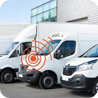
GPS matters for numerous reasons (including some the original designers didn’t imagine). For example, transportation uses GPS all the time. Fleet managers and private vehicle owners use it to automate route planning.
Farmers also use it. GPS is essential for guiding tractors and ensuring proper fertiliser application.
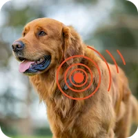
Even people with pets can use the technology. It can be used to track tagging devices inside dogs and cats, keeping them safe.